Vertical Motion and Clouds
by Ghost Aviator
Table of Contents
1. Causes of Vertical Motion 2. Convergence and Divergence 3. Clouds — Classification & Types 4. High Clouds 5. Medium Clouds 6. Low Clouds 7. Clouds with Vertical Development 8. Very High Level Clouds 9. Cloud Base & Amount 10. Cloud Species 11. Condensation Trails 12. Mintra, Drytra & Maxtra Levels 13. Flying in Clouds 14. Practice Q&A 15. Master Reference Tables1. Causes of Vertical Motion
Five Main Causes
| Cause | Mechanism | Effect |
|---|---|---|
| Terrain (Orographic) | Air forced up windward slope; eddies/instability on leeward. Mountain waves on leeward with strong winds. | Nacreous clouds occur in the lower stratosphere in very cold polar conditions |
| Convection | Surface heating → air rises as thermals. Gliders use thermals. | CU and CB form; strong up/down draughts |
| Pressure Systems | Low/Cyclone → convergence → ascent; High/Anticyclone → divergence → subsidence | Lows = bad wx; Highs = fine wx |
| Frontal Zones | Warm front: gradual ascent over wide area; Cold front: sharp/abrupt uplift | WF: steady rain; CF: convection, TS, squally wx |
| Wind Shear | Vertical wind shear creates strong eddies. CAT at jet stream amplified by mountain waves. | Turbulence, CAT |
flowchart TD
    A[Causes of Vertical Motion] --> B[Terrain/Orographic]
    A --> C[Convection/Thermals]
    A --> D[Pressure Systems]
    A --> E[Frontal Zones]
    A --> F[Wind Shear]
    B --> G[Mountain Waves → Nacreous Clouds]
    C --> H[CU & CB formation]
    D --> I[Low → Ascent; High → Subsidence]
    E --> J[WF: Gradual; CF: Abrupt uplift]
    F --> K[CAT amplified near Jet Stream]
2. Convergence and Divergence
| Parameter | Convergence | Divergence |
|---|---|---|
| Air flow | Inflow | Outflow |
| Vertical motion (low level) | Ascent (Convection) | Subsidence |
| Pressure systems | Lows, Cyclones, Depressions, Troughs | Highs, Anticyclones, Ridges |
| Weather | Bad weather | Fine weather |
| Visibility | Better (except in precip) | Poor |
3. Clouds — Classification
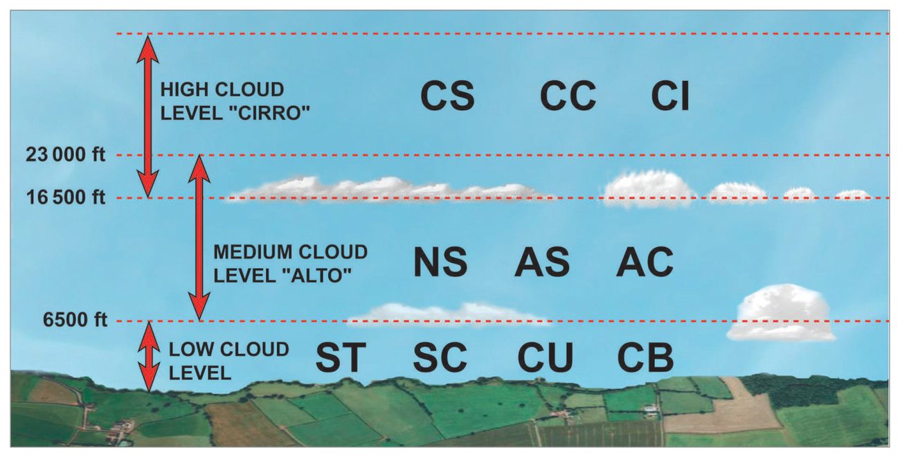
There are 10 major genera classified by Form (Stratiform, Cumuliform, Cirriform) and Height (High, Medium, Low).
Cloud Height by Region
| Level | Polar Region | Temperate Region | Tropical Region |
|---|---|---|---|
| High | 10,000–25,000 ft (3–8 km) | 16,000–45,000 ft (5–13 km) | 20,000–60,000 ft (6–18 km) |
| Medium | 6,500–13,000 ft (2–4 km) | 6,500–23,000 ft (2–7 km) | 6,500–25,000 ft (2–8 km) |
| Low | up to 6,500 ft (2 km) | up to 6,500 ft (2 km) | up to 6,500 ft (2 km) |
4. High Clouds
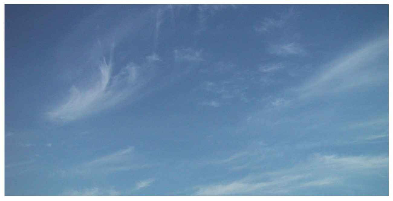
Cirrus (CI)
White and fibrous, delicate filaments or patches, narrow bands. Composed of ice crystals. Do not cause precipitation or ice accretion.
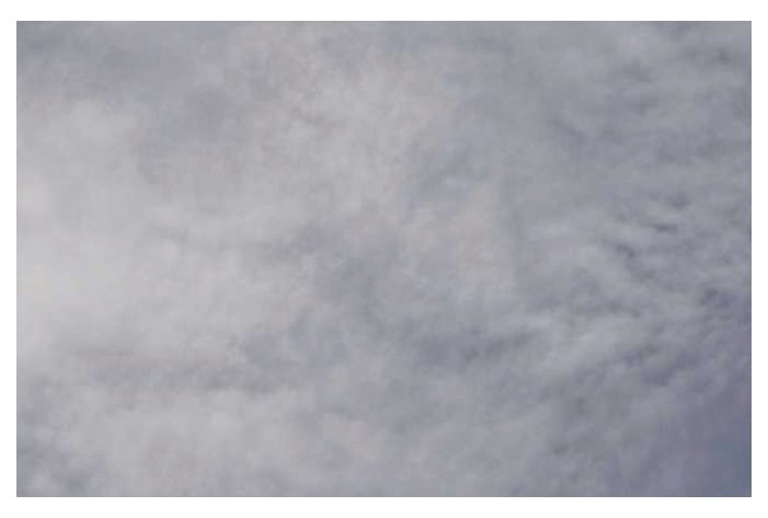
Cirrostratus (CS)
Thin whitish veil of fibrous or smooth appearance. Covers almost whole sky. Produces Halo — a coloured circular ring around sun or moon with violet colour inside. When thick may cause any ice fall, remaining confined to high/medium levels. Hardly any ice accretion.
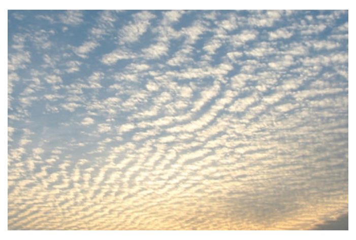
Cirrocumulus (CC)
Thin, white, wave-like very small puffs. Composed of ice crystals. Sky visible in between puffs. Do not cause precipitation; hardly any ice accretion.
5. Medium Clouds
Altocumulus (AC)
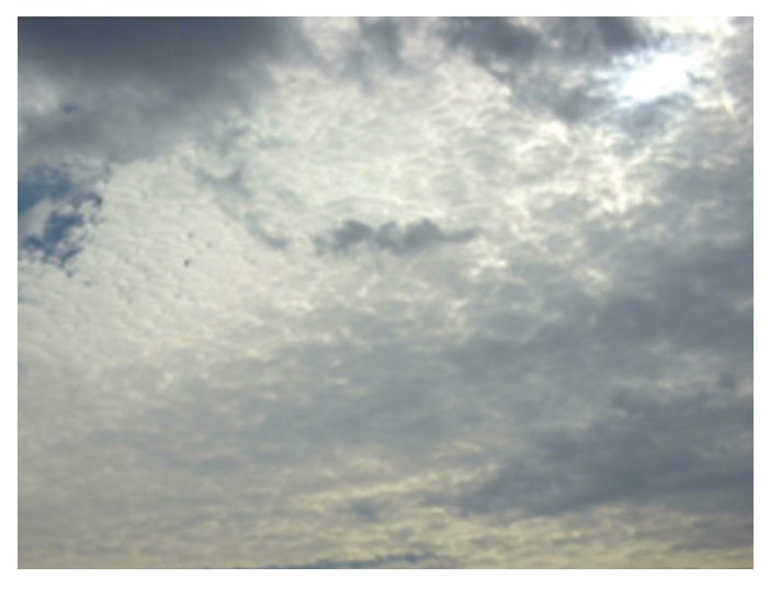
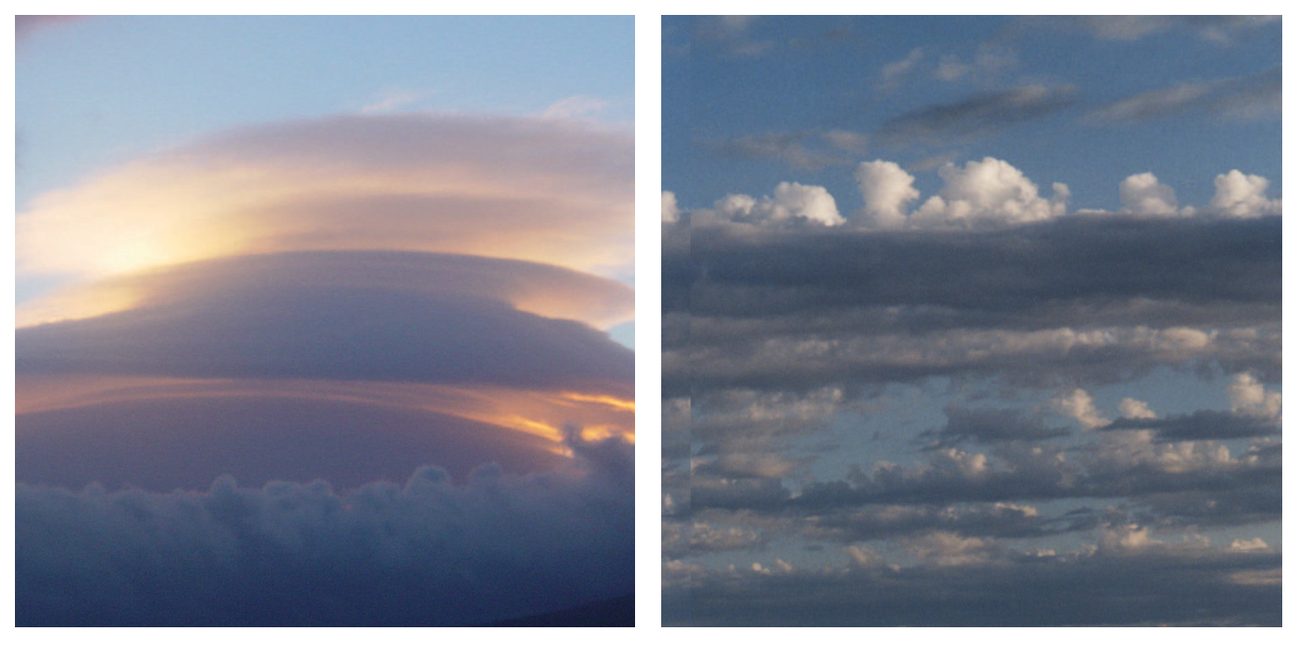
White-grey clouds, patches, puffs, rounded masses, rolls, etc. Round masses generally well arranged in long waves, rows or lanes. Sky visible between puffs. Altocumulus Lenticularis = lens-shaped clouds at crests of mountain waves on leeward side of high mountains. No precipitation; may cause ice accretion.
Altostratus (AS)
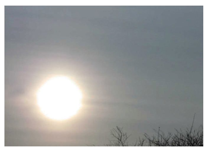
Uniformly greyish or whitish cloud sheets/layers of fibrous appearance. Totally or partly cover the sky. If thin → see sun through it like ground glass. Optical phenomenon Corona occurs in AS. Thick AS: continuous rain or snow. Ice accretion possible below freezing temperatures.
6. Low Clouds
Stratus (ST)
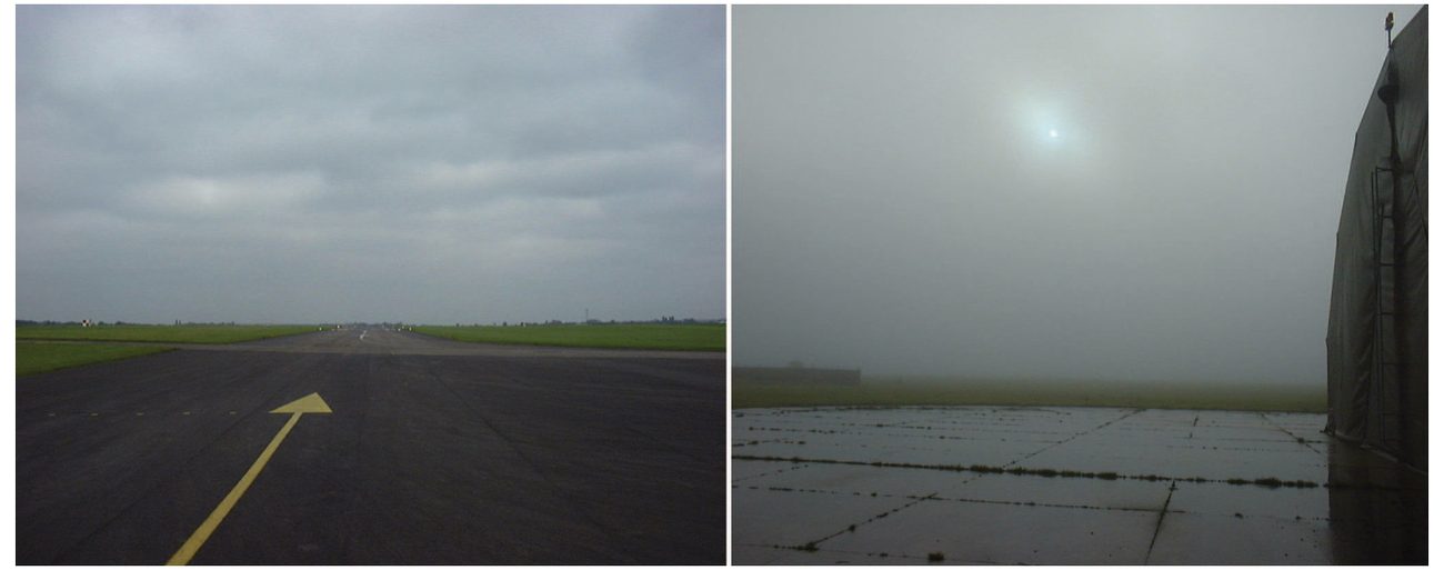
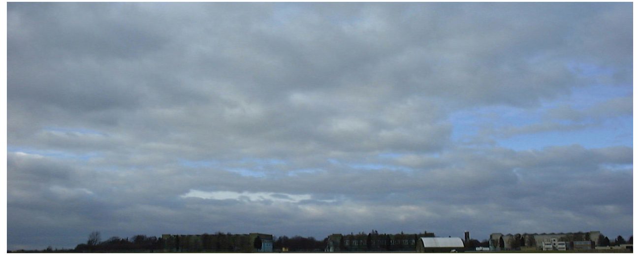
Grey cloud layer with uniform base. May stretch horizon to horizon. May give drizzle, ice prisms or snow grains. ST touching ground = fog. Ragged/patchy ST = Fracto Stratus.
Stratocumulus (SC)
Low clouds of large, irregular puffs or rolls, gray or whitish. Regularly arranged. No serious precipitation.
Nimbostratus (NS)
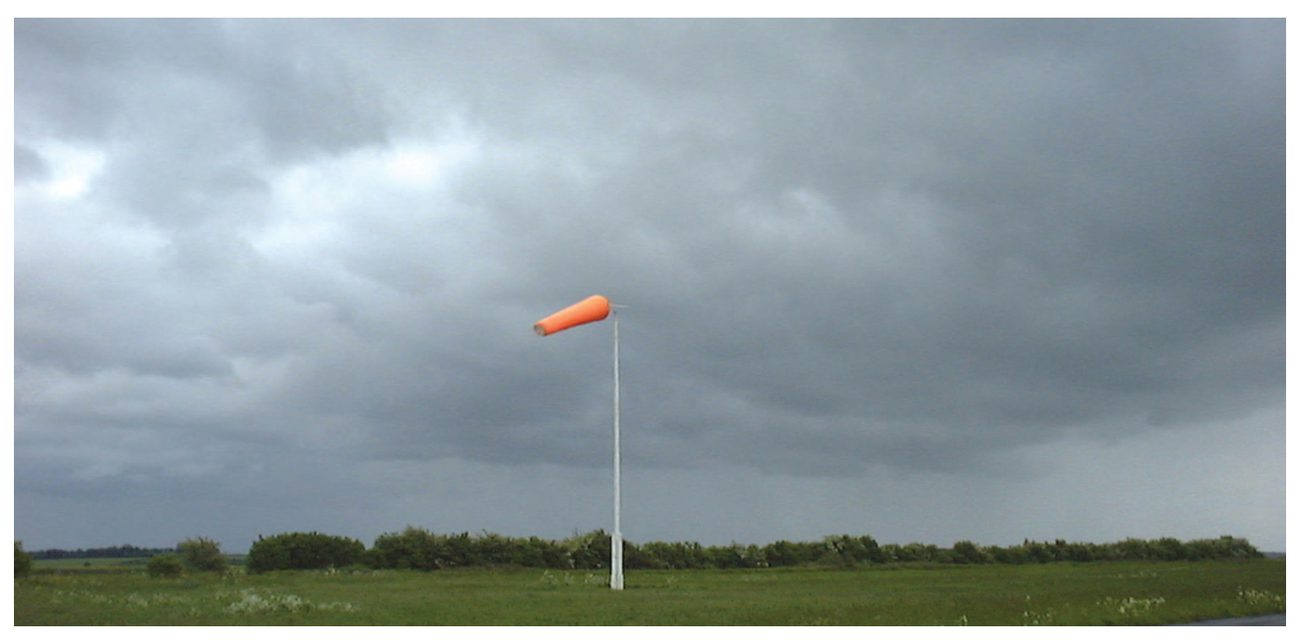
Dark and grey thick cloud layer. Causes continuous rain or snow. Thick enough to blot out the sun. Extends both medium and lower levels. Ice accretion possible below freezing. Ice Pallets fall from thick NS clouds especially in Warm Fronts. Ice pallets are transparent ice particles, spherical/irregular, about less than 5 mm dia.
7. Clouds with Vertical Development
Cumulus (CU)
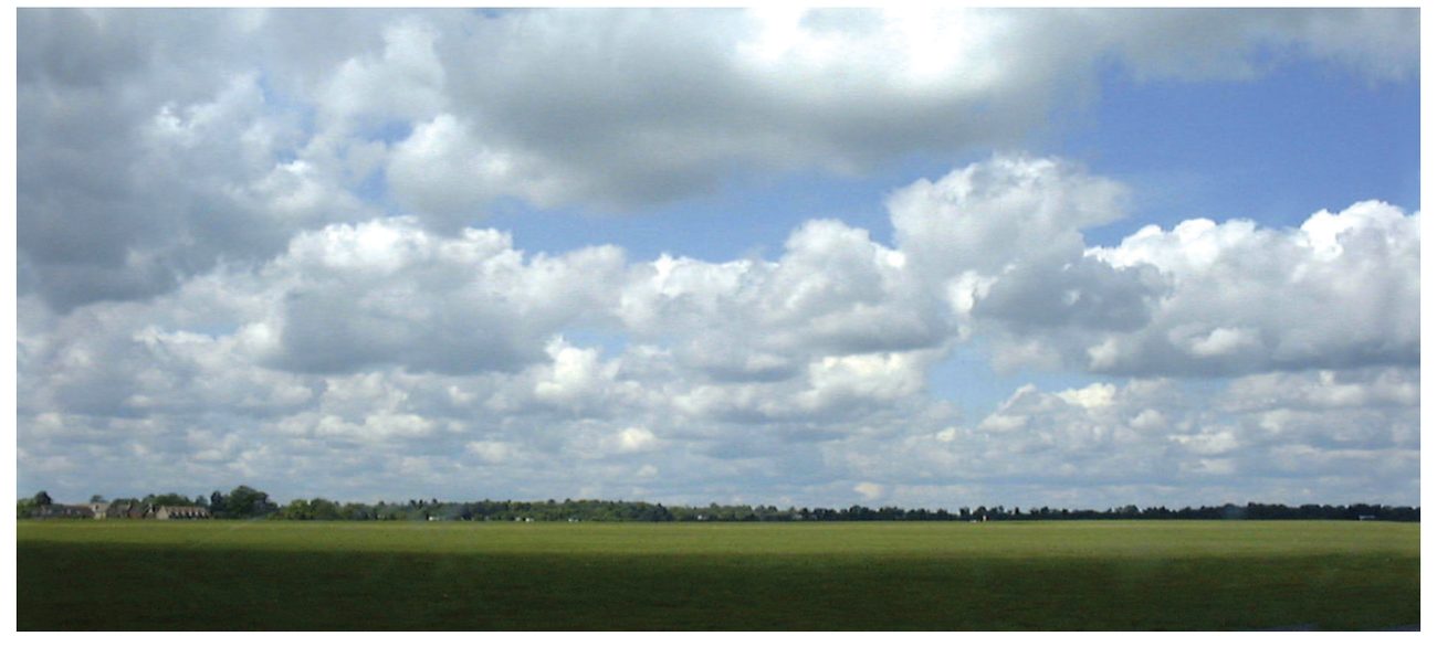
Detached clouds, dense with sharp outlines. Base dark, nearly horizontal. Develop vertically as rising mounds, domes or towers. Bulging upper part resembles a cauliflower. Sunlit parts brilliant white. Base sometimes ragged = Fracto Cumulus. A well-developed CU with great vertical extent = Towering Cumulus (TCU).
Fair Weather Cumulus
Limited vertical extent. Caused by thermal currents due to surface heating. Occur during daytime only, develop in forenoon, reach max in afternoon, dissipate in evening. Do not cause precipitation.
Cumulonimbus (CB)
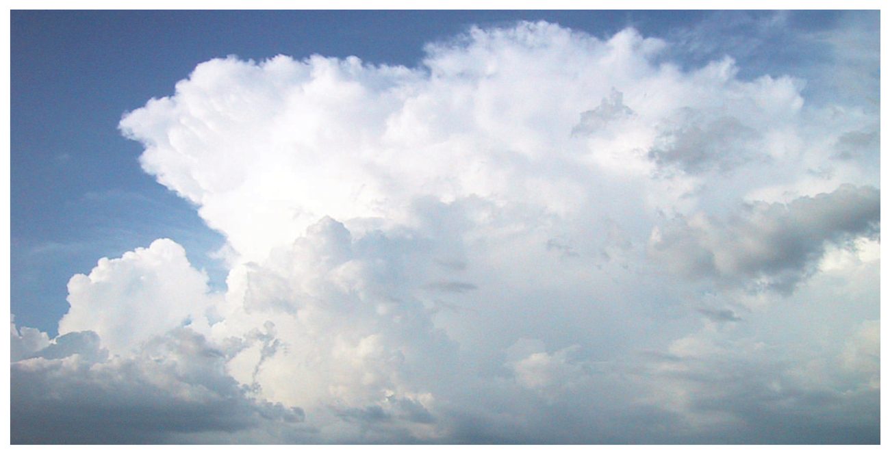
Heavy and dense cloud of large vertical extent, like mountains or huge towers. Upper portion mostly smooth, fibrous and nearly flattened — spreads out like an anvil. Base often very dark. Low ragged cumulus fracto or stratus fractus sometimes present below. Virga = shaft of rain or snow falling from distant cloud which vapourises before reaching the ground.
Hail may be experienced under the anvil of a CB.
CB is the most hazardous cloud for aviation and should be avoided.
Flying through active CB cloud should be avoided during TS. Severe turbulence, icing, lightning, hail possible 20–30 nm around a CB.
flowchart LR
    CU[Cumulus CU] -->|grows| TCU[Towering Cumulus TCU]
    TCU -->|further development| CB[Cumulonimbus CB]
    CB --> P1[Rain RA]
    CB --> P2[Showers SH]
    CB --> P3[Hail GR]
    CB --> P4[Snow SN]
    CB --> P5[Virga]
    CB --> P6[Anvil Top]
8. Very High Level Clouds
Nacreous Clouds (Mother of Pearl Clouds)
Nacreous clouds are rare polar stratospheric clouds, commonly called mother-of-pearl clouds because of their brilliant iridescent colours. They occur in the lower stratosphere in very cold conditions. They are distinct from noctilucent clouds in the mesosphere.
Noctilucent Clouds
Resemble Cirrus but have bluish, silvery or orange/red colour. Occur in upper Mesosphere between 80–85 km. Visible soon after sunset or before sunrise between 72°N and 45°N, mostly around 55°N, in summers (late May–mid August). Thought to consist of ice particles (not meteoric dust, as originally believed).
9. Cloud Base, Amount & Ceiling
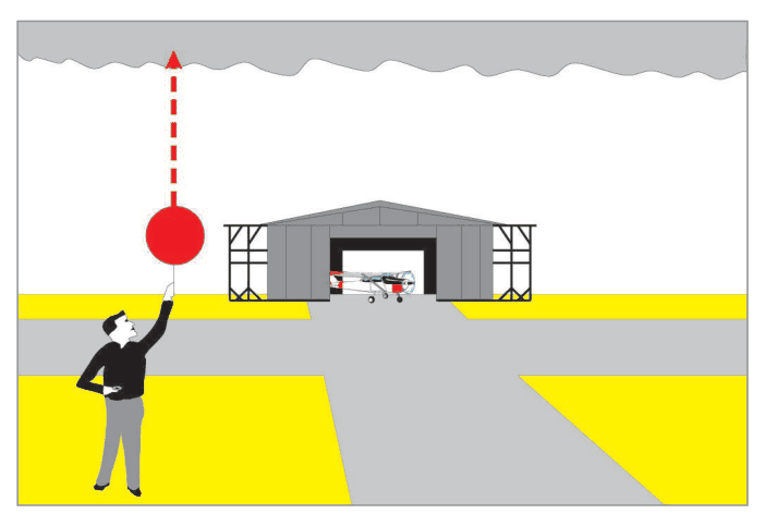
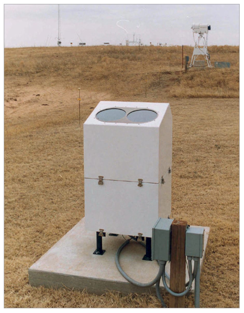
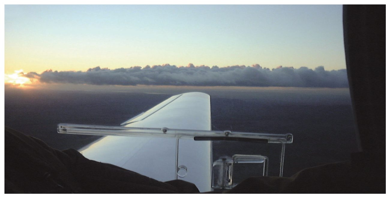
Reporting Cloud Base
In Area Forecast Charts: cloud base from Above Mean Sea Level (AMSL).
Cloud Amount (Oktas)
| Oktas | 1–2 | 3–4 | 5–7 | 8/8 | Nil | Sky not visible |
|---|---|---|---|---|---|---|
| Term | FEW | SCT (Scattered) | BKN (Broken) | OVC (Overcast) | SKC (Sky clear) | Sky Obscured |
| Sky Condition | Fine | Fair | Partly cloudy | Cloudy | Fine | Sky Obscured |
Cloud Ceiling
Cloud Amount in Imaginary Oktas
For expressing cloud amount, the sky is divided into eight imaginary parts. Each part is called one Okta.
10. Cloud Species
| Species | Description | Applicable Cloud Types |
|---|---|---|
| Fibrous | Filament form without tufts or hooks | Ci, CS, CC |
| Lenticularis | Elongated lens-shaped | AC, SC or CC |
| Castellaneous | Cumuliform protuberances connected by common base, arranged in lines | CI, CC, AC or CU |
| Fractus | Ragged | ST or CU |
| Congestus | Strong sprouting/great vertical development, bulging resembles cauliflower | CU |
| Calves | Cirrus at top, some protuberances begin to change to fibrous | CB (without distinct anvil) |
| Capillatus | Distinct anvil. Accompanied by SH, TS, SQ and GR. Produces well defined Virga. | CB |
11. Condensation Trails (Contrails)
| Type | Description |
|---|---|
| Wing Tip Trails | Thin, transient, short-lived. Form near wing tips and propeller edges due to aerodynamic reduction of pressure, expansion and consequent adiabatic cooling and condensation. |
| Exhaust Trails | Form from condensation of moisture from aircraft exhaust at about 9 km and above. Long, persistent, visible. Reveal position and track of aircraft. |
| Distrails (Dissipation Trails) | Passage of aircraft through a cloud marked by clear lanes. The heat released by aircraft exhaust is sufficient to evaporate the cloud in its wake. |
12. Mintra, Drytra and Maxtra Levels
No contrails → Contrails Possible → Contrails Certain (Mintra Level → Drytra Level) → Contrails Possible → No contrails (Maxtra/Sea Level equivalent in stratosphere)
13. Flying in Clouds — Operational Significance
Stratiform Clouds (ST, AS)
Flying is generally smooth. In NS clouds during monsoon with thick AS and NS layers, visibility is reduced due to continuous precipitation. ST clouds reduce visibility and cause difficulty identifying the runway during landings. Ice accretion also occurs in AS and NS clouds above freezing levels.
Cumuliform Clouds (CU, CB)
CC and AC may cause bumpiness. Well developed CU, TCU and CB can cause severe turbulence, downdrafts, gusts, ice accretion, lightning, hail and strong up/down draughts. Flying through CB should be avoided during TS. Hail may be experienced in clear air below the anvil of a CB.
• Avoid flying through active CB
• Avoid flying under CB anvil — hail in clear air possible
• CB causes ALL: RA, SH, GR, SN, TS, severe turbulence, severe icing, lightning
• Operations should be avoided during TS
14. Practice Q&A
15. Master Reference Tables
All Numerical Values
| Parameter | Value |
|---|---|
| High clouds — tropics height range | 20,000–60,000 ft (6–18 km) |
| Medium clouds — tropics | 2–8 km (6,500–25,000 ft) |
| Low clouds — all regions | below 2 km (6,500 ft) |
| Cloud ceiling threshold | 6000 m / 20,000 ft |
| Cloud ceiling coverage threshold | 5/8 or more |
| Exhaust contrail level | 9 km and above |
| Mintra — ML temperature estimate | –45°C @ 100% RH |
| Drytra — above Mintra by | ~2 km |
| Ice pallets dia | <5 mm |
| Operationally significant cloud base | below 1500 m (5000 ft) |
| Noctilucent cloud altitude | 80–85 km |
| Noctilucent cloud latitude | 72°N–45°N, mostly 55°N |
Cloud Type Quick Reference
| Cloud | Level | Composition | Precipitation | Icing | Aviation Hazard |
|---|---|---|---|---|---|
| CI | High | Ice crystals | None | Negligible | Low |
| CS | High | Ice crystals | None | Negligible | Low (Halo visible) |
| CC | High | Ice crystals | None | Negligible | Low |
| AC | Medium | Water/ice | None (AC Len = none) | Possible | Low–Moderate |
| AS | Medium | Water/ice | Continuous rain/snow (thick) | Yes below 0°C | Moderate |
| ST | Low | Water drops | Drizzle | Possible | Moderate (vis) |
| SC | Low | Water drops | None serious | Possible | Low |
| NS | Low–Medium | Water/ice | Continuous rain/snow | Yes below 0°C | High |
| CU | Vertical | Water drops | None (fair wx) | Possible | Low (bumpiness) |
| TCU | Vertical | Water/ice | Rain, showers | Yes | High |
| CB | Vertical | Water/ice/hail | RA, SH, GR, SN | Severe | EXTREME — AVOID |
Okta/Cloud Amount Table
| Oktas | Term (METAR) | Sky Condition |
|---|---|---|
| 0 | SKC/NSC | Fine |
| 1–2 | FEW | Fine |
| 3–4 | SCT | Fair |
| 5–7 | BKN | Partly cloudy |
| 8 | OVC | Cloudy/Overcast |
| /// | Sky Obscured (VV///) | Sky Obscured |
• 5 causes of vertical motion: Terrain, Convection, Pressure, Fronts, Wind Shear
• Convergence = ascent = bad wx; Divergence = subsidence = fine wx
• 10 cloud genera; 3 levels; classified by form and height
• High clouds (3 Ci-): ice crystals, no precip, no icing, CS produces HALO
• Medium (Alto-): AS = continuous rain if thick; AC = no precip; Corona in AS
• Low: ST = drizzle; NS = continuous rain; SC = no serious precip
• CB = ALL hazards — AVOID. Hail under anvil in clear air.
• Cloud base: AGL in METAR/TAF; AMSL in area charts
• Ceiling = BKN/OVC below 20,000 ft; Cloud amount in Oktas (0–8)
• Contrails: Wing tip (short), Exhaust (long, persistent ≥9 km), Distrails (clear lanes)
• Mintra (lowest level for contrails) → Drytra (2 km above) → Maxtra (stratosphere)
Reinforce Chapter 8: Vertical Motion and Clouds
Test your knowledge and practice actual exam questions for Aviation Meteorology.